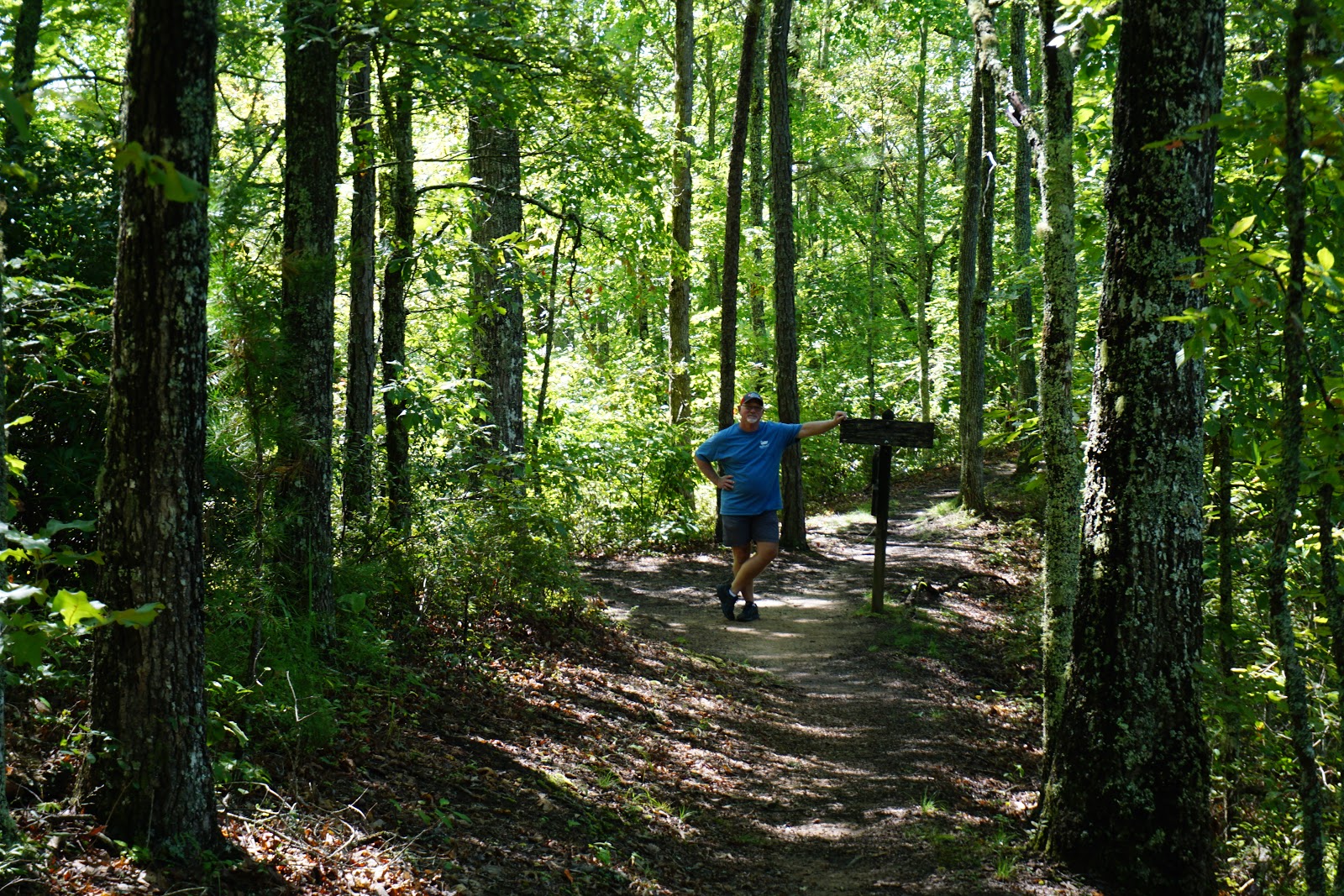
It’s been a little bit of a heat wave out here, which is to
be expected. We figured we would be dealing with mosquitos and bugs, but
luckily that hasn’t been the case! One
of the outer banks islands we wanted to go visit was
Ocracoke. It is accessible by ferry from either
Hatteras or Swanquarter. We chose Swanquarter since it’s just down the road
from us. We decided to make it a full
day. The ferry ride is 2 ½ hours each
way, but it was very nice and relaxing and allowed us to travel in the Pamlico
Sound.
 |
| Nice ferry! Just looks a little tight in the harbor to navigate! |
Ocracoke is small and pretty laid back. It’s easy just to navigate by foot. There is a lighthouse here, built in
1823. Set in an early 1900s house, the
Ocracoke Preservation Society Museum traces the island’s history. Nearby is a tiny British Cemetery containing
the graves of WWII sailors. We found it
to be a quiet little island and quite enjoyable!
 |
| Beautiful beaches! |
 |
| Pretty harbor |
We did go looking for the wild horses, but this is all we
found. LOL!
 |
| This family was out walking their pig and goats. Notice the diapers on the goats! I wonder if they were staying at a pet friendly B&B? |
Another place we wanted to go see was
Cape Lookout.
We decided to spend the night at a B&B in
Beaufort.
Beaufort is a cool little
town, quite enjoyable.
We had a balcony
room and we really enjoyed it and looking for that black moon (an additional new moon that appears in a month). Beaufort is the
third oldest town in North Carolina. It was originally inhabited by the Coree
Indians, then French Huguenots, and was eventually settled by the British in
1709. In 1713, Robert Turner, who held the original land grant for 200 acres,
laid out the town and named the streets just as they are today.
It was incorporated in 1722.
The isolation of Beaufort, I think, has
helped the town retain its historic appearance. There are over 100 homes over a
century old and several that are over 200.
 |
| Beautiful homes |
It was fascinating to
walk through the Old Burying Ground which was established in 1709 and is
located by the beautiful Methodist Church.
The cemetery was deeded to Beaufort in 1731. Most of the graves are facing east as those
buried had wanted to be facing the sun when they arose on “Judgement
Morn”. You can pick up a brochure that
lets you know about some of the most interesting people and stories. One such is “Girl in Barrel of Rum”. In the
1700s an English family came to town.
Their little girl wanted to travel back to her homeland. On the way back to America she died. Her
father, not wanting to break a promise to his wife that he would safely return
her, instead of burying her at sea, buried her in a casket of rum to preserve
her. Visitors have left many trinkets in her memory.
 |
| Girl in Barrel of Rum |
There are two National Park Service Visitor Centers – a
small one in Beaufort and their larger one down on Harker’s Island. The Harkers Island area looks fun and worth a
trip back to spend some time. From
prehistoric times on, folks have been drawn to these barrier islands here. American Indians hunted and fished along these
banks and in 1753 a planned community, Portsmouth Village, was laid out and was
the busiest seaport in North Carolina for the next 100 years. You can take ferries to more of the smaller
islands. We didn’t make it to
Shackleford Banks, a nine mile long island, home to a herd of wild horses that
is monitored by the NPS. Cape Lookout
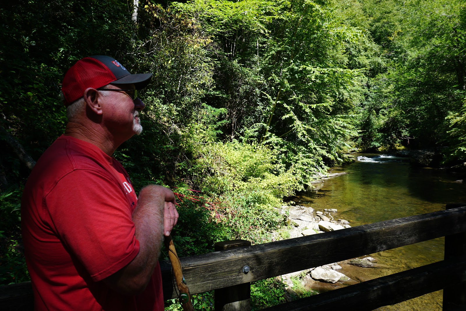
National Seashore is still wild, beautiful and remote. The beach was beautiful and we enjoyed
hanging out there.

We also drove over to check out
Fort Macon State Park, a
civil war era fort.
It is nearly
surrounded by shore water at the eastern tip of Bogue Banks.
It was a great beach to walk.
The fort was once a project of Robert E. Lee
as a young army engineer.
We missed the
live demonstration of cannons and muskeets.
They are generally offered at 4 in the afternoon.
 |
| Our beautiful flag! |
The following week on our days off we took the Motorhome back to
Oregon Inlet Campground, a national park service campground at the Cape Hatteras National Seashore. We’ve become fans of the Guy Fieri show, “Diners, Drive-Ins and Dives”, and he has done several segments on places around Nags Head. So we decided to head to one of them,
Tortugas Lie. Ron had an excellent whiskey hamburger while I had a terrific salmon steak sandwich.
 |
| Salmon steak sandwich was very good! |
One of the other good things we did was explore a little of
Manteo, a town on Roanoke Island.
We
visited the National Wildlife Refuges Visitor Center here and the
ElizabethanGardens, but by far the most interesting was
Fort Raleigh National HistoricSite.
Again, the cobwebs were shuffled
around a little as we remembered about
The Lost Colony and
Virginia
Dare.
 |
| Queen Elizabeth I |
 |
| Virginia Dare Statue |
 |
| Monarch butterfly larvae |
 |
| Such a beautiful garden! |
Roanoke Island has had a lot of history over the last three
centuries. Algonquians, European
settlers, Civil War soldiers, and African Americans have all had a part in
it. Between 1584 and 1587 England took
it’s first step at colonizing North America, making 3 exploration voyages over
and attempting settlements. During the
Civil War, American troops occupied Roanoke Island, which hosted a colony where
the formerly enslaved prepared for life after the war. Lastly, did you know that radio pioneer
Reginald Fessenden transmitted the human voice using wireless technology on the
island in 1902?
 |
| National Underground Railroad monument |
In 1584 Sir Walter Raleigh was the force behind the exploration
voyages, although he never stepped foot on the land. Backed by Queen Elizabeth, he was to find a
suitable place for settlement and to counter Spanish domination in the New
World. The explorers landed here, spent
about 3 weeks with friendly relations with the Indians, learning about the
land. When they left, they actually took
2 Indians back with them, Manteo and Wanchese (the two towns on the island are
named after them). In 1585 seven ships
and 600 people came to the Island, which Raleigh had named Virginia. Relations
with the Indians started deteriorating after the colonists depended on them for
food, and the Indians started getting sick from the white men. This ended in the colonists killing Chief
Wingina. Another voyage was sent in 1587,
a true colony with women and children. The
situation with the Indians was not good, the colonists ran low on food. John White, their leader, had a daughter that
was married to Ananias Dare, who delivered a daughter in Roanoke. She was the
first Christian born in Virginia, hence the name Virginia Dare. The colonists were running out of provisions
and sent White back to England for supplies.
It was three years before he made it back. The colonists had promised him that if they
moved locations, they would carve the location in a tree. When John White finally returned in 1590, he
did not find anyone on the island, but did find the letters CROATOAN carved
into a post and CRO carved into a tree. Croatoan
Island is now known as Hatteras. White attempted to go there but a hurricane
prevented him, and he returned to England.
The fate of the colonists remains a mystery to this day.


We sure found some good historical souvenirs these past few
weeks!